CPD
Drone technology: 3D modelling, mapping and topographical surveying
£18.00
Description
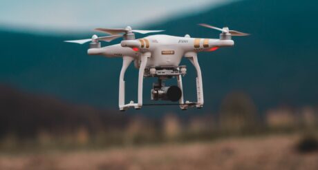
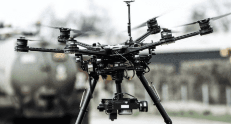
In this second webinar in our ‘Drone Technology’ series, Roy Amos talks about the applications and techniques for using drones for aerial data acquisition along with photogrammetry processing methods to carry out mapping, 3D modelling and topographical surveying on construction projects. Roy explained the basic data collection and processing workflows, as well as both the advantages and the limitations of the technology and software.
This learning activity can contribute to your annual CPD return and should be logged accordingly.
Themes: BIM | Leadership
Steppingstones

Sustainable Construction and Development
Reviews
Only logged in customers who have purchased this product may leave a review.
Reviews